Hertford County Maps - Some beautiful illustrations
By Susan Hall
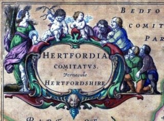
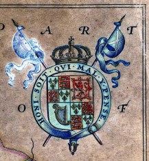
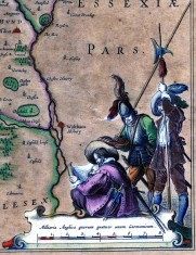
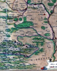
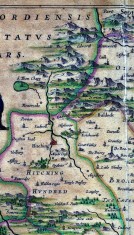
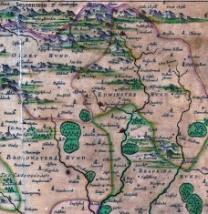
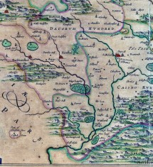
The illustrations show just one of the County Maps held at Hertfordshire Archives and Local Studies.
The map itself is dated round 1664 it is 20 X 15¼ inches and has a scale of 2¼ miles to 1 inch.
This is a reprint of Blaeu’s map of Herts in his ‘Theatrum.’ Dutch text of Camden’s ‘Britannia,’ on the back
As you can see it is beautifully illustrated and probably would have been hand coloured.
You can view a copy in the Library Reading Room at Hertfordshire Archives and Local Studies, The registry Office Block, County Hall, Hertford, SG13 8EJ.
Time period
This page was added on 18/03/2014.



Add your comment about this page